Geographic Information Systems
The purpose of geographic information systems (GIS) is to integrate data for capturing, managing, analyzing, and displaying. GIS allows us to view, question, interpret, and visualize data in many ways that reveal relationships, patterns, and trends in the form of maps, globes, reports, data files, and charts.
*Please note that the “GIS Files” are shapefiles and can only be opened with GIS software. The “GIS Maps” are thematic maps that are available in PDF format.
 |
 |
|---|---|
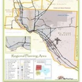
| GIS FILE LISTING | GIS MAPS |